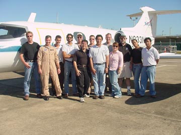
Data From Puerto Rico ATLAS Mission

The San Juan , Puerto Rico , ATLAS mission was conducted during February 2004 to investigate the impact of the urban landscape and growth on the climate of this tropical city. The flight plan for the mission covers the San Juan metropolitan area, el Yunque National Forest, Mayagüez, and the Arecibo Observatory, for a total of 25 flight lines. The central area of San Juan was covered at 5 meters resolution in day and night flights. The remaining areas were covered at 10 meters resolution in day flights. The flights were conducted between February 11th and February 16 th , 2004.
The Airborne Thermal and Land Applications Sensor (ATLAS) from NASA/Stennis operates in the visual and IR bands. ATLAS is able to sense 15 multi-spectral radiation channels across the thermal, near-infrared, and visible spectrums. The sensor also incorporates onboard, active calibration sources for all bands. The sensor is flown in a Lear 23 jet plane and captures about a 30-degree swath width to each side of the aircraft. The data must be corrected for geometric abnormalities due to flight path variations, and must be radiometrically calibrated. These raw sensor scan lines are then reconstructed into a two-dimensional image data set. The sensor also operates a 9-inch Zeiss camera for high-resolution photographic work. This ATLAS sensor has been used in other field campaigns to investigate UHI in large continental cities. No major effort has been reported to investigate the UHI in a major tropical city.

The Atlas Mission was completed with the direct collaboration of the NASA EPSCoR and NOAA-Crest programs of the University of Puerto Rico , NASA’s GSPC and MSFC, the City University of New York, the University of New Mexico

Special acknowledgements to:
NASA JOHN C. STENNIS SPACE CENTER
& NOAA CREST

